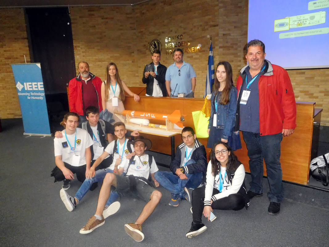
Cansat in greece 2017
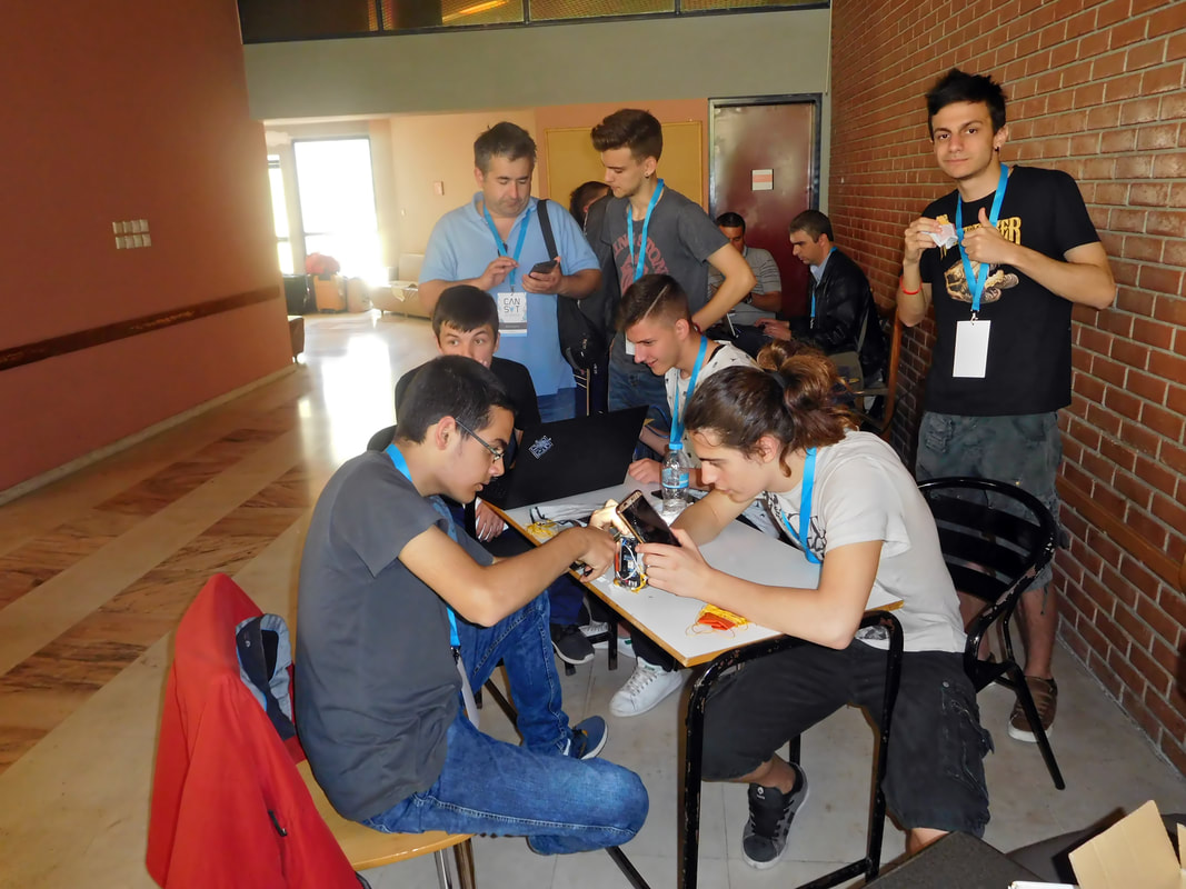
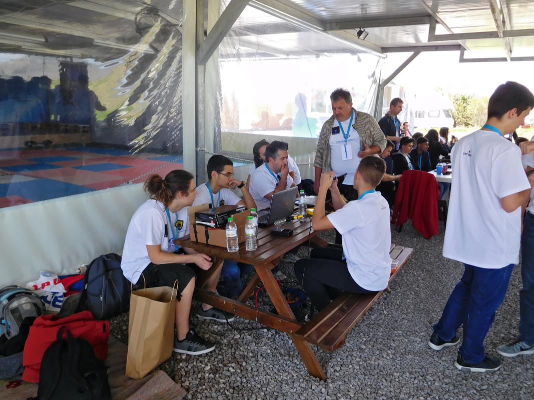
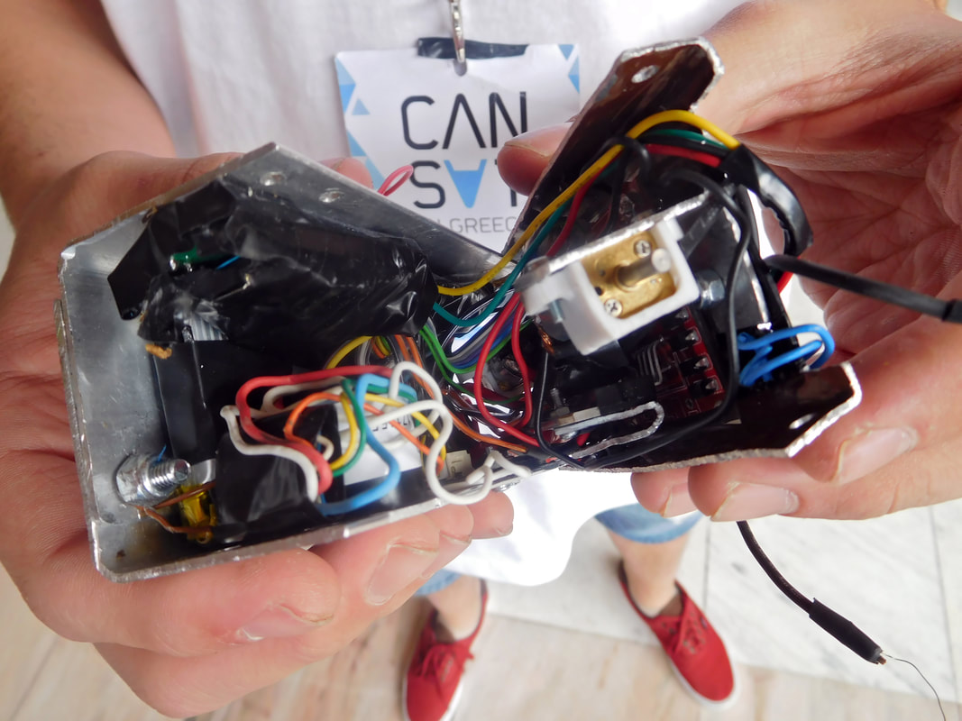
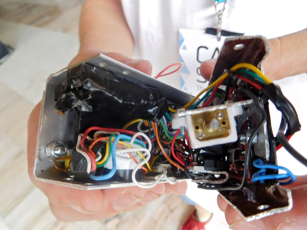
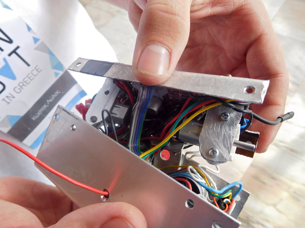
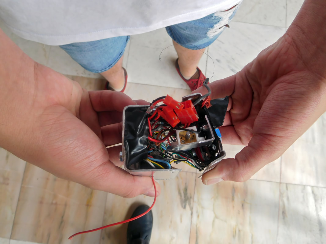
The team of the 7th Lyceum of Ioannina named “Zephyrus” is composed by 13 students of the first two grades of the 7th Lyceum of Ioannina. The mission, designed by the team, consisted of two parts, one in the air and one in the ground. In the descent, after the launch, it will take measurements with grove sensor (specific gas sensing). The data to be measured in order to draw conclusions on air quality are: CO (carbon monoxide), NO2, H2 (hydrogen), NH3 (ammonia) and CH4 (methane). On the second part of the mission, after landing, it will move on wheels and will carry out an accurate measurement of ethene, which is responsible for self-ignition of plants and the induction of fires.
THE MISSION
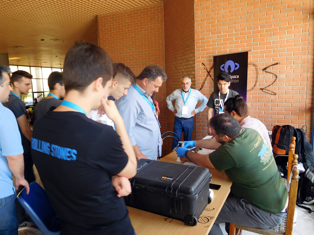
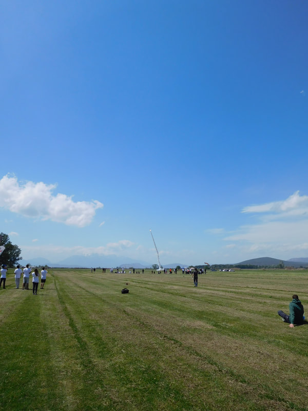
Last year, apart from the main mission, we had also chosen a continuous transmission of data for the analysis of the atmosphere’s composition using a Gas Sensor during descent. After landing, the CanSat would cover a distance while at the same time sending data from the analysis of the atmosphere using an ethane (C2H4) sensor. Lastly, the recording of the route and the recovery of the CanSat would be done with a GPS.
Basic aim of Zephyrus was to register ethane atmospheric content with target the timely warning for forest fire, meanwhile record the atmospheric content for certain unhealthy gases, so that it can be used for record levels of air pollution at one area.
After deployment, our CanSat would analyse the composition of the atmosphere using a Gas Sensor which transmits data throughout the entire fall.
The aim of this was the monitoring of the atmosphere by taking measurements of its dangerous gases content (CO, NO2, H2, NH3 και CH4)
After landing, it would execute the second and main part of the mission.
The CanSat would cover a predetermined distance (determined by the landing point) on wheels, while simultaneously analysing the atmosphere’s content using an ethene sensor.
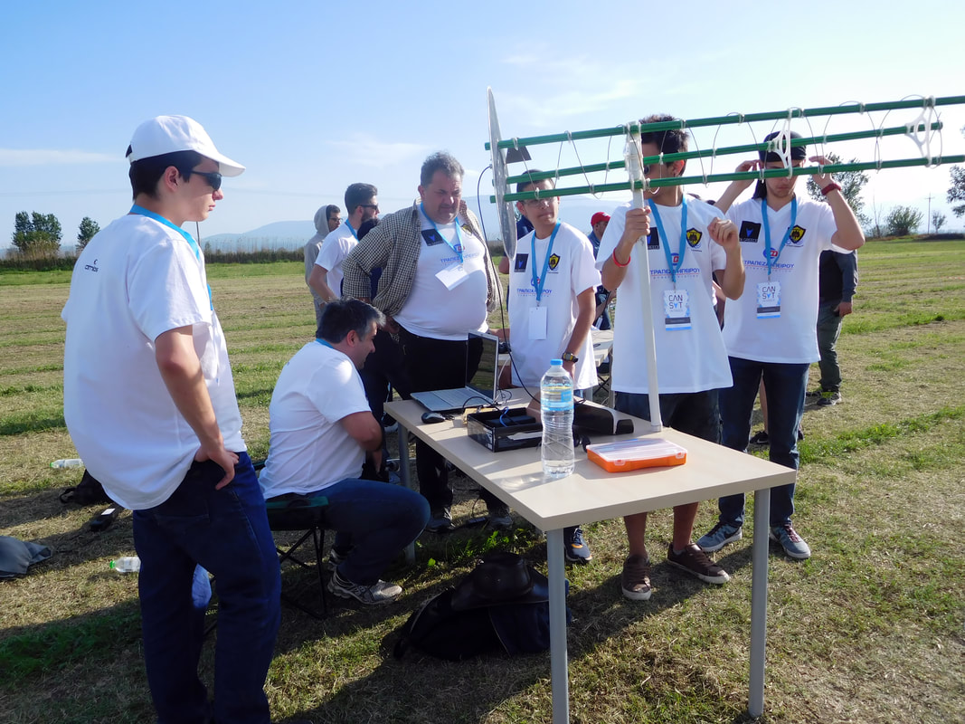
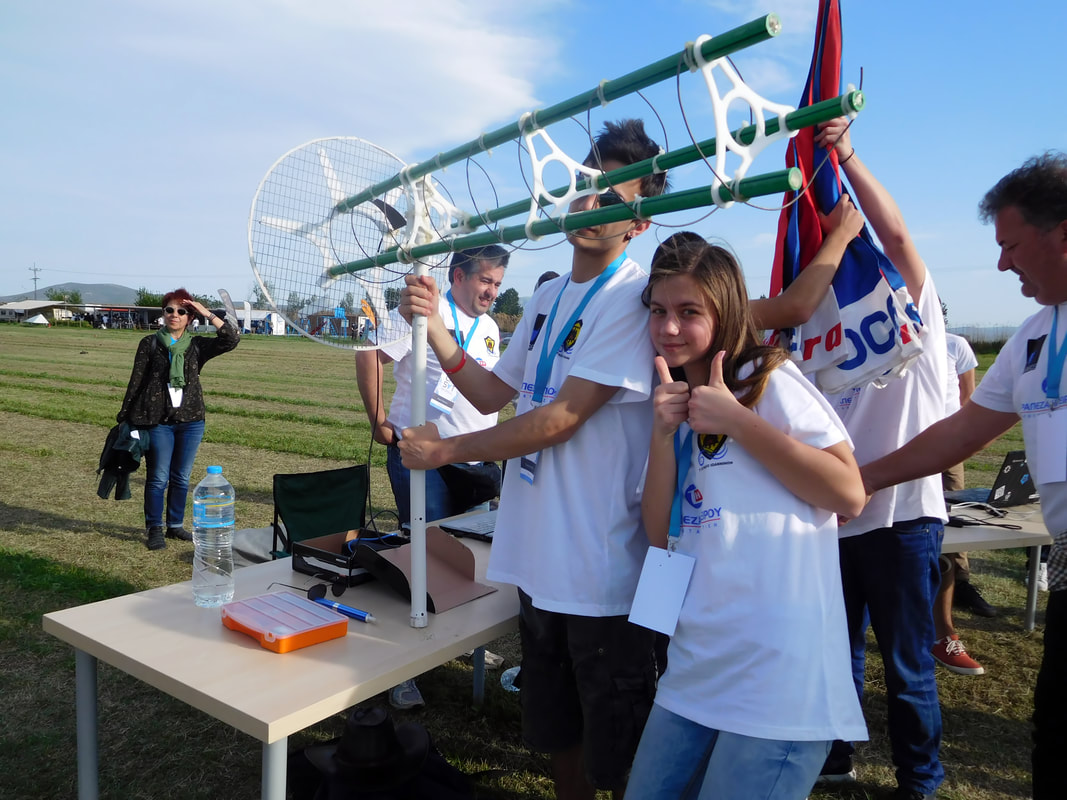
The data would be received that exact moment using telemetry and the exact location and route that was taken by the CanSat would be found using GPS technology
The objective was to check the area ( neglected forests or landfills) where is existing danger for forest fire cause to the increased amount of the ethane (C2H4) organic compound which is extremely flammable, when is in large amounts exposed at solar radiation reacting easily with oxygen as result causing self-ignition.
The main source of inspiration for our mission was a phenomenon which got very dangerous in our city, as well as in other places the last few years.
The economical crisis has lead many people to cheaper but at the same time harmful for the environment means of heating, which in many areas has brought about the phenomenon of smog. The result of this phenomenon was immediately and intensively felt by all residents of Ioannina and was very dangerous for people with respiratory problems, the elderly et al.
So, the problem of atmospheric pollution made a huge comeback
ESA (US Environmental Protection Agency ) with the innovative Airborne Spectral Photometric Environmental Collection Technology (ASPECT) method was the inspiration for our mission, aiming at the timely warning in cases of fires in Greek forests.
Last year, apart from the main mission, we had also chosen a continuous transmission of data for the analysis of the atmosphere’s composition using a Gas Sensor during descent. After landing, the CanSat would cover a distance while at the same time sending data from the analysis of the atmosphere using an ethane (C2H4) sensor. Lastly, the recording of the route and the recovery of the CanSat would be done with a GPS.
Basic aim of Zephyrus was to register ethane atmospheric content with target the timely warning for forest fire, meanwhile record the atmospheric content for certain unhealthy gases, so that it can be used for record levels of air pollution at one area.
After deployment, our CanSat would analyse the composition of the atmosphere using a Gas Sensor which transmits data throughout the entire fall.
The aim of this was the monitoring of the atmosphere by taking measurements of its dangerous gases content (CO, NO2, H2, NH3 και CH4)
After landing, it would execute the second and main part of the mission.
The CanSat would cover a predetermined distance (determined by the landing point) on wheels, while simultaneously analysing the atmosphere’s content using an ethene sensor.
The data would be received that exact moment using telemetry and the exact location and route that was taken by the CanSat would be found using GPS technology
The objective was to check the area ( neglected forests or landfills) where is existing danger for forest fire cause to the increased amount of the ethane (C2H4) organic compound which is extremely flammable, when is in large amounts exposed at solar radiation reacting easily with oxygen as result causing self-ignition.
The main source of inspiration for our mission was a phenomenon which got very dangerous in our city, as well as in other places the last few years.
The economical crisis has lead many people to cheaper but at the same time harmful for the environment means of heating, which in many areas has brought about the phenomenon of smog. The result of this phenomenon was immediately and intensively felt by all residents of Ioannina and was very dangerous for people with respiratory problems, the elderly et al.
So, the problem of atmospheric pollution made a huge comeback
ESA (US Environmental Protection Agency ) with the innovative Airborne Spectral Photometric Environmental Collection Technology (ASPECT) method was the inspiration for our mission, aiming at the timely warning in cases of fires in Greek forests.